Online Research Tools for Gold Prospectors
The internet provides some amazing resources to help prospectors locate good areas to find gold. The free information available to us is better today than it ever has been. The two resources below are some of the handiest tools available for research.
Google Earth
Google Earth is a virtual map of the Earth. It maps the entire planet by superimposing images from satellite imagery, aerial photography, and geographic information systems. It provides aerial view of every corner of the planet.
The values of Google Earth to the gold prospector are limitless. Sitting in the comfort of your home, you can look at remote gold country. You can see roads, creeks, rivers, and gulches. You can often see old mines and other diggings in the hillsides, tailing piles in the creek bottoms, and other evidence of past workings by other miners.
Especially when used in conjunction with other research that you have done, you can locate excellent areas to search for gold.
CalTopo
CalTopo is another online mapping resource that surprisingly few people seem to know about. It is located at caltopo.com and provides users with access to USGS 1:24,000 scale topo maps. The site is interactive, so you can use your cursor to navigate. You can type certain features into the search bar to zoom directly to the location.
These features can be obvious like towns and cities, but even some more obscure references can be entered into the search bar and located with CalTopo. You can often enter specific landmarks like mines, creeks, and mountains, and get it to come up.
Another feature that is especially handy on CalTopo is the ability to add overlays onto the basic 1:24,000 maps such as land ownership. It also has other mapping layers, including basic street maps and historical maps for certain areas. The information found here is really worthy of exploring.
My Land Matters
My Land Matters is the best tool to come out for gold prospectors in years. In fact, it fills a much needed void that was left when the Bureau of Land Management stopped updating active mining claims on GeoCommunicator. And it is much more user-friendly than LR2000.
This website basically lets you do research from home to determine if lands are actively claimed or not. As a gold miner it is your responsibility to know land status. Not only about private/public lands, but also whether or not a section of public lands has active claims on it.
Go to MyLandMatters.org and start playing around with it. It will take some time to learn how to use the site, but soon you will be able to find active and abandoned mining claims. This will help you to find areas that you can go search on the ground.
Mobile Access
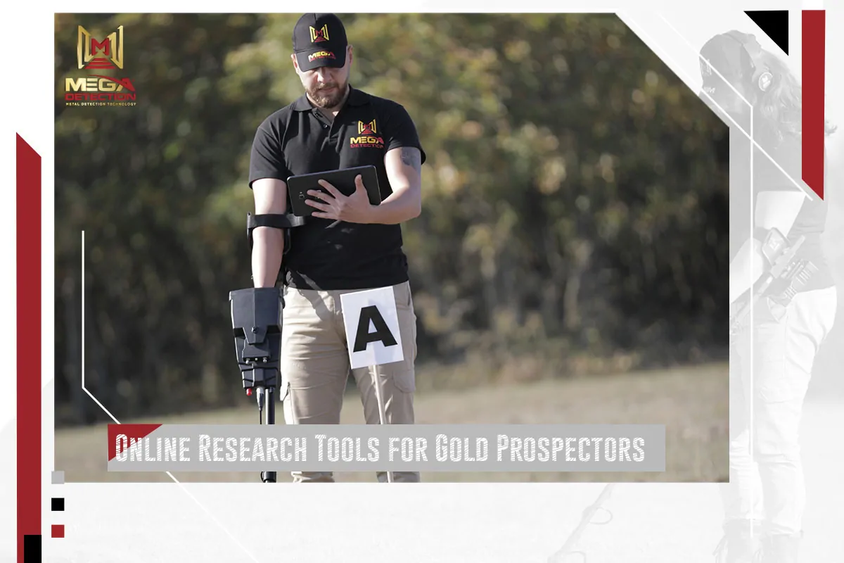
With today’s mobile technology, some prospectors are even set up so that they can have access to these resources while out in the field. The old paper maps are still the preferred navigating tool for some of us, but I must admit that devices such as smart phones and tablets give us access to some fantastic resources while out in the field.
As prospectors hit the hills each season, gold is always getting just a little bit harder to find. Be sure to use the resources that are available to you, and you are sure to be rewarded!
Organize Your Metal Detecting Leads
If you see something that piques your interest, drop a pin. You can also make separate folders to organize your leads. Just make sure your privacy settings are enabled! You do not want to share your new potential locations right away!
You can grab the Latitude and Longitude aka coordinates, from Google Maps. Make sure you have this information copied or saved in a separate area, as you will need it.
Use Historical Aerials
You may now use Historical Aerials to “peel back time” for your respective area. This website gives you access to many historical aerial photos that may help you refine the area you want to detect in.
This is great if you are looking for things like old trails and swimming holes.
If you are looking for old relics and coins then it may be best to look at an atlas for that area. For example, in NJ you can find free Atlases online that date back to the 1800s. All you have to do is search on google. Depending on the atlas you look at it may even show you old homesites, which is a fantastic clue.
Research the Property Owner and Ask For Permission
Once you have found your “prime” location, the next action is to obtain the permission of that area. It is important to always have the permission of the area in which you are detecting and most importantly, never to trespass.
But, how does one find out who owns that property? Well, there are many ways to obtain information. For now, we will focus on the Smart Hunting aspect.
There are tools online for each state that allow you to pull up public tax assessment information. Remember when we said save your coordinates? Use the information discovered to build your strategy as you will be given contact information to aid you in your journey to permission.
If the location in which you are Smart Hunting turns out to be a business, find the website to the company. Try to locate a “contact us” page to strengthen your efforts in getting the permission you are seeking. You may also attempt to create a “Waiver of Liability,” as businesses want to ensure you are not an insurance risk. Do not get discouraged if you get a no. I always try to play the “No” game. And that is how many “No’s” can you get before you get a yes. You will be surprised with your outcome!
Sometimes if the property is owned by a private resident it will show their contact information. Again, I want to clarify that this is public information. You may choose to find them on social media or send them a well thought out handwritten letter. Why? Because people need to write more handwritten letters. You also have the option to show up at their home. If it is a farm, sometimes this works out as they often have farm stands. Go grab some juicy vegetables and talk yourself into some permission. Need some exercise? Maybe lend a helping hand on the farm! You never know of the doors that will open through the power of positivity.
If you manage to gain permission, you now have your opportunity to put the Smart Hunting you did to work.
You have now become a Detective Detectorist!




Leave a Reply